Buttercups, Southern California is side-eyeing the Pacific again.
Hurricane Polo has exploded into a Category 5 monster off southwestern Mexico — National Hurricane Center advisories have called it extremely dangerous, with max winds around 180 mph — and SoCal is bracing for the kind of coastal punch that doesn’t need a direct hit to ruin a weekend.
Good news first: Polo is not forecast to make landfall in California. The core is expected to stay offshore, skirting Mexico’s Pacific shoreline and turning northwest / west-northwest. Mexico’s the one in the tropical-storm-warning zone, staring down heavy rain, flooding, and mudslide risk through Thursday.
SoCal’s problem is the long-distance delivery system. Forecasters say southerly swells tied to Polo — and other Pacific systems like tropical storm Odalys — could juice rip currents and elevated surf as early as Friday into the weekend, with stronger chances early next week. National Weather Service meteorologists are watching high surf lining up with high tides Monday and Tuesday, which is when coastal flooding can get ugly on beaches that are already beat up.
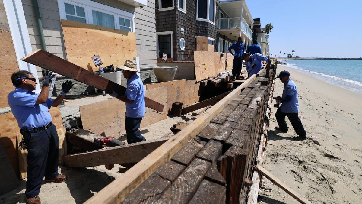
And they are beat up. Earlier this month, remnants from Hurricane Marie hammered Dana Point, Long Beach, Malibu and others — beachfront homes red- and yellow-tagged, boardwalks battered, local emergencies declared from Laguna Beach to Carlsbad over erosion and sand loss. After a summer of southern swell after southern swell, vulnerable coastlines don’t have much left to give.
Rain for L.A.? Slim. One NWS Oxnard meteorologist put the chance around 5%, depending on Polo’s path. The vibe might still get that sticky tropical humidity Marie fans already know too well.
Polo is the 16th named storm of this eastern Pacific season, riding an El Niño setup that typically means a busy year out there — and California’s governor has already declared a statewide emergency ahead of what winter might bring.
Bottom line for buttercups near the water: don’t panic about a hurricane landfall, do respect the rips, the surf, and another round of waves on coasts that just took a beating. Stay tuned to local forecasts — tracks this far out still wobble.